Create digital twins of your assets and infrastructure.
Create digital twins of your assets and infrastructure. With accurate and detailed digital twins all the stakeholders of a project can visit a site virtually on their computer and inspect, measure and design without having to leave their office.
Whether your requirement is for a 3D model to 50 microns accuracy of an engineering part or the mapping of all the inner city streets in your town accurate to 30mm SURVEY SOLUTIONS has a solution available.
The director of SURVEY SOLUTIONS has over 25 years of 3D scanning & reality capture experience worldwide, 4 years in Asia, 6 years in United Kingdom and 15 years in New Zealand, on a range of projects including oil/gas, power/process, roading, tunnels, archaeology, construction sites, railway, historical buildings and crime scene. During this time we have used extensively many models of 3D scanners including MENSI S10, MENSI S25, Trimble GS100 and TX5, FARO Photon, Focus 3D, M70 & X330, ARTEC EVA, SPIDER & LEO, GEOMAGIC CAPTURE, GEOSLAM ZEB1, ZEB REVO, ZEB REVO RT, ZEB HORIZON, ZEB DISCOVERY, SOUTH ROBOTSLAM, ME SLAM RTK and SPL180
No site is too big or too small, we travel all over New Zealand, using the following 3D scanners at very competitive rates to provide the most cost effective and timely solutions:
Some of the many projects completed in New Zealand include:
Watch the following short video on 3D models generated from 3D pointclouds CLICK HERE
Read the following published articles:
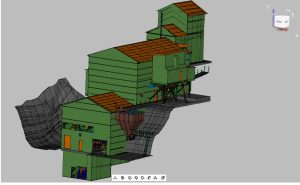
SURVEY SOLUTIONS can provide CAD 3D models of the pointcloud which can provide considerable extra value to the 3D pointcloud. 3D CAD models are more easily worked with in CAD environments. The following images are some of the many 3D models we have generated:

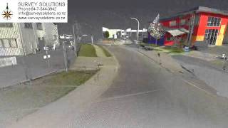
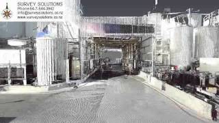
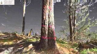
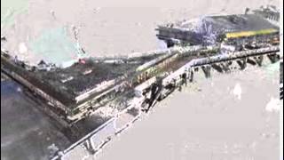
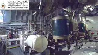
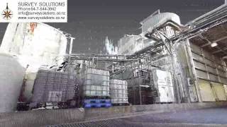
The following are 3D flythru movies of raw 3D pointclouds that we have measured on a few of the many local projects in New Zealand: