
SURVEY SOLUTIONS supply the latest disruptive technologies which are true game changers outlined in the following case studies.The technical solutions enable customers to be more efficient, competitive and grow their business
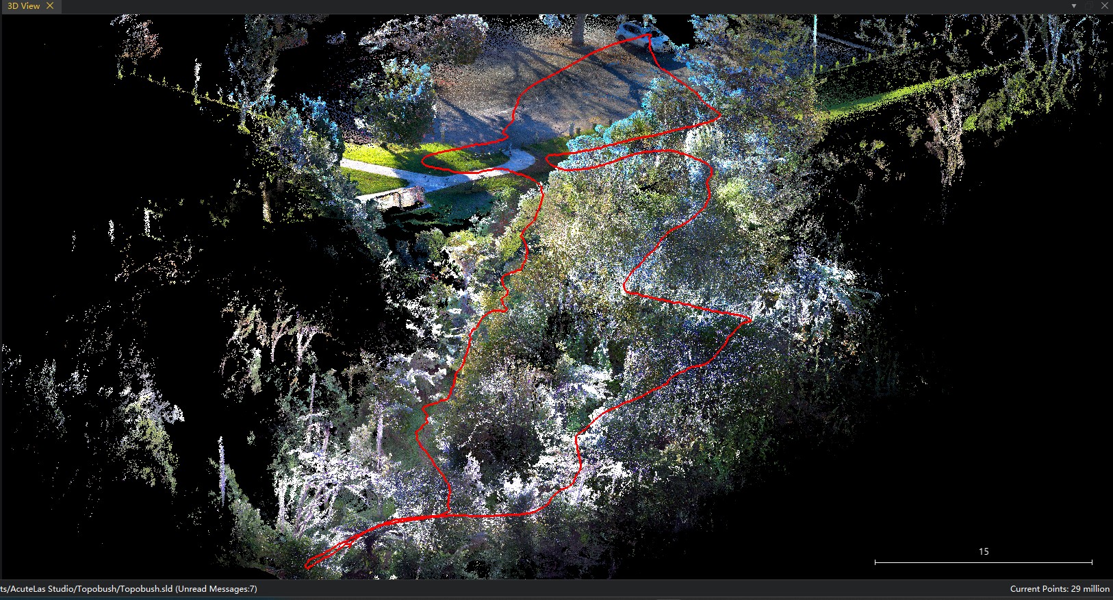
A topographical survey was completed on a site with extensive tree cover using the new SOUTH ME plus. Traditional forms of survey using GNSS or Total Station are often not viable on such sites as they are cost prohibitive and time consuming.
Download Brochure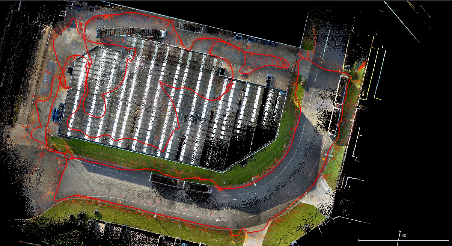
A trial was completed on an industrial site to compare the time frames to survey the site by conventional survey using GNSS and Robotic Total Station compared to the latest new SOUTH ME plus visual lidar RTK
Download Brochure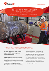
Two case studies covering quality control for piping and quality control for metal casting using ARTEC 3D scanners
Download Brochure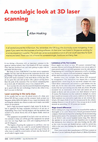
A nostalgic look at 3D laser scanning over the last 10 years
Download Brochure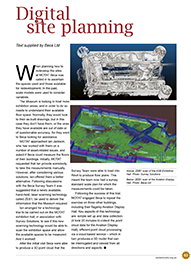
This article published in Museum of Transport & Technology (MOTAT) in Auckland covers the use of the revolutionary ZEB1 3D Laser Scanner to accurately and quickly map the museum buildings
Download Brochure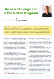
The director, Allan Hosking, spent 4 years working as a site engineer in the UK and this article published in the Survey Quarterly overviews the role and projects.
Download Brochure
An article published in Surveying+Spatial magazine in September 2015 on the revolutionary ZEB1 3D laser scanner which is the first handheld truely mobile 3D laser scanner for mapping large areas
Download Brochure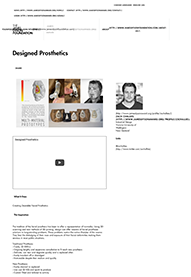
Using the ARTEC SPIDER 3D Scanner Victoria University Industrial Design department won the James Dyson award in 2014 for designing prosthetics
Download Brochure
An article on land survey equipment manufactured in China
Download Brochure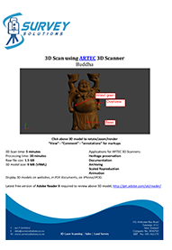
his statue was 3D scanned and processed in minutes. Ideal for scaled reproductions, animation & gaming, archiving and documentation.
Download Brochure
3D Laser scanning of tunnels and generating 2D sections
Download Brochure
3D laser scanning for archaeological recording of stone walls and buildings
Download Brochure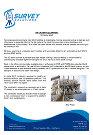
3D laser scanning of an offshore gas compression platform and generating a 3D model for import into PDMS
Download Brochure