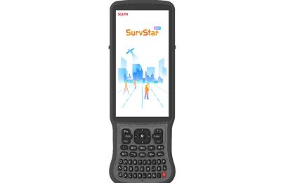
SOUTH ME Plus Visual-Lidar RTK
26 Mar 2026
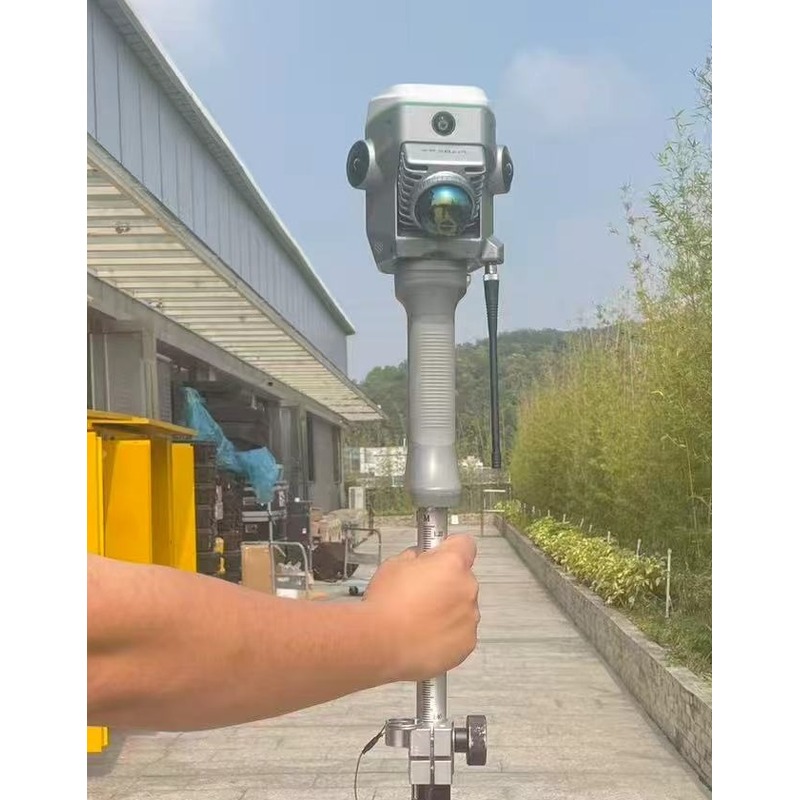
Versatile survey and mapping solution designed for both indoor and outdoor environments. It enables you to efficiently capture data in areas that are typically inaccessible for aerial drones or conventional GNSS systems-such as beneath tree canopy and inside buildings. Further details CLICK HERE
You may also like
ARTEC POINT II
Targeted metrology applications up to 20 microns (0.02mm) ...
10 Aug 2026
More Detail >
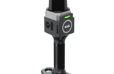
SOUTH KOOL SLAM 3D laser scanner
Measuring up to 100 meters a colourised pointcloud with real time ...
28 Jul 2026
More Detail >
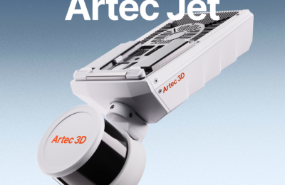
ARTEC JET
SLAM lidar for autonomous drone flights indoors and underground ...
7 Apr 2026
More Detail >
Lattest News
SOUTH KOOL SLAM 3D laser scanner
28 Jul 2026ARTEC JET
7 Apr 2026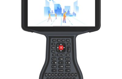
H7 android handheld
18 Dec 2025