Softree Terrain Tools 3D
16 Sep 2024

Ideal software for 3D site design, handling survey data, stockpile volume calculations, mine surveying, quantity takeoffs, pad and pond design, geological mapping, surface contouring and visualization, and landfill site design.
Further details CLICK HERE
You may also like
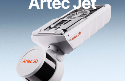
ARTEC JET
SLAM lidar for autonomous drone flights indoors and underground ...
7 Apr 2026
More Detail >
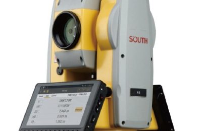
SOUTH ME Plus Visual-Lidar RTK
Versatile survey and mapping solution designed for both indoor ...
26 Mar 2026
More Detail >

H7 android handheld
SOUTH H7 android handheld is a survey controller with a large ...
18 Dec 2025
More Detail >
Lattest News
SOUTH ME Plus Visual-Lidar RTK
26 Mar 2026H7 android handheld
18 Dec 2025
SOUTH H9 Survey Controller
4 Nov 2025